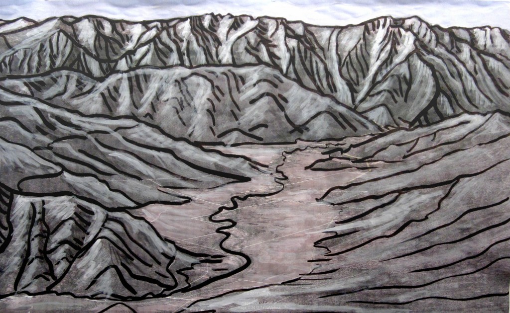
I have always loved Genesee Valley, In Plumas County, California. Though the valley lies at about 3,500 feet elevation, Grizzly Peak rises another 4,000 feet in about a mile, making the meadows below feel like our own Northern California version of Montana or Idaho.
My brother is working as a land manager for the Feather River Land Trust. They own the Heart K Ranch, and manage other conservation lands in the Upper Feather River Watershed. This illustration is an aerial view of the ranch from the East. The original for this piece is about 48×36″, and its intended final size is as a postcard.
We like these sorts of hybrid projects – where Google Earth and inkjet plotters meet black ink on a paintbrush. The classic cartographer’s trick is to work big for a small final piece, and we are scheming on some really large pieces.
