We just ran a quick wildfire mapping assignment in Sonoma County.
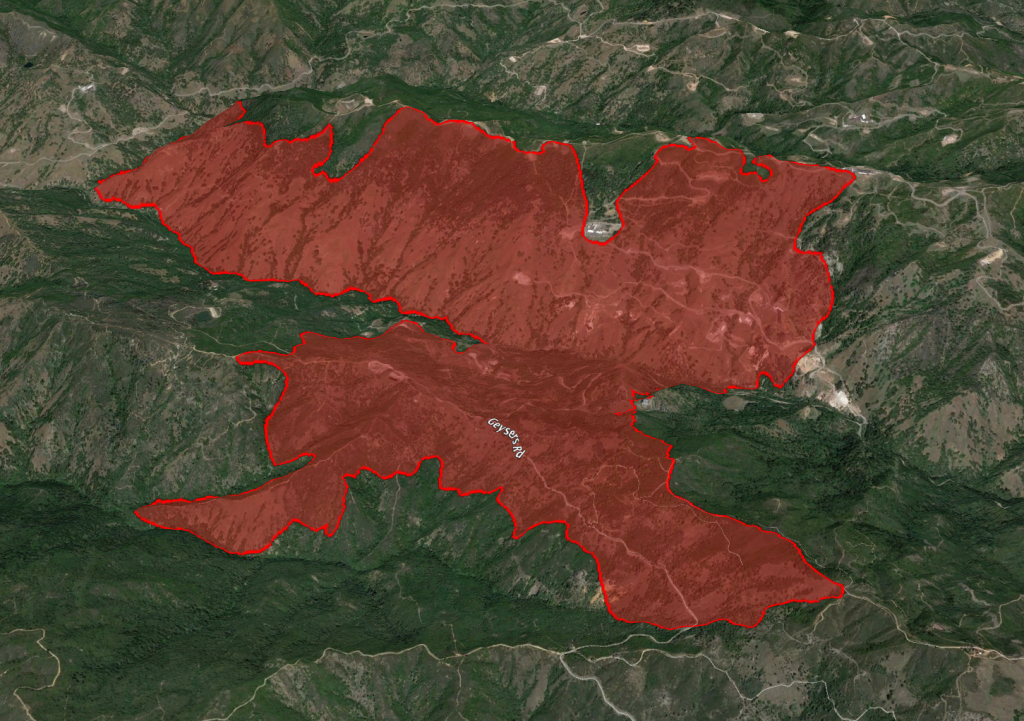
The McCabe Fire was wind-driven, and burned about 3,000 acres in a sustained wind-driven push.
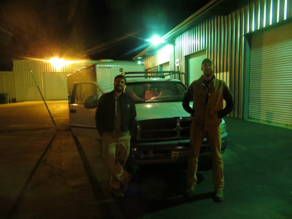
We launched our larger mapping trailer – ‘Walnut’ – and a crew of two for a quick assignment.

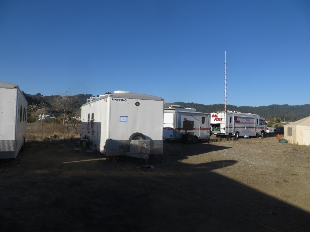
At the fire camp in Cloverdale.

McCabe Fire as mapped by CAL FIRE Incident Management Team 3. Perimeter data downloaded from http://www.geomac.gov
NBC News ran a piece about the fire which featured some video shot inside of our mapping unit.

