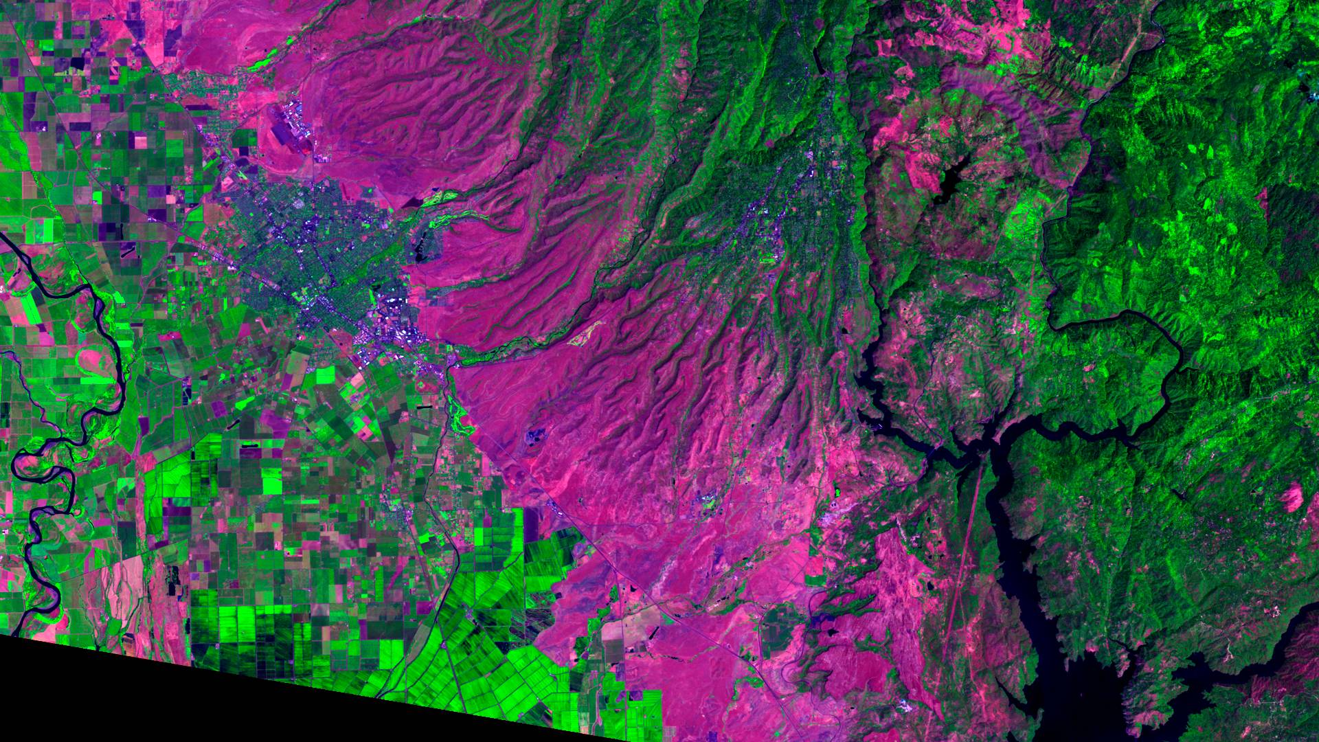
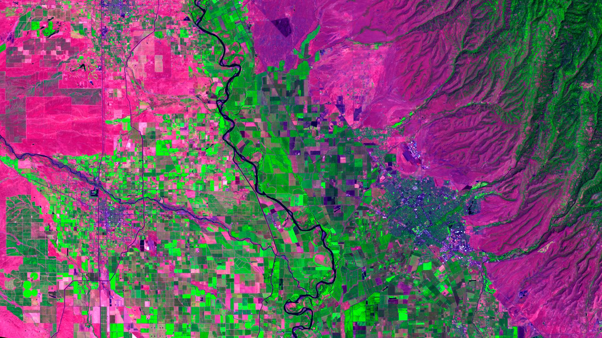
We have been using satellite imagery and remote sensing for the last 15 years on a wide-variety of mapping projects, and are interested in collaborating on efforts that use mapping to improve the efficiency and effectiveness of local water use and management. Here are some example images that we have built recently using multispectral LANDSAT imagery.

Left to Right – The Sacramento River, Chico, Paradise, Concow, Lake Oroville (Click to zoom)

Left to right – Stony Creek, Orland, Sacramento River, Chico (Click to zoom)
Purples and pinks are hot in this image. Dark greens are orchards, and bright greens are field crops and alfalfa.
Rice shows up as dark green where it is still flooded, and as bright green where the fields are being dried out for harvest.
Basically anything that is irrigated is shades of green, pink fields are either grazing land, fallow fields, or dry wheat.
There are some interesting details in the imagery – for example, on center left, you can see how hot the gravel bars are in the stream corridor of Stony Creek, or the tarmac is at the Chico Airport. Bidwell Park shows up as a cool island among the hot streets of Chico, and you can see just how scorching Southeast Chico is with all of the parking lots and no large trees. Also, the Cohasset, Mangrove, and Nord Ave corridors in Chico show up as very hot in this August 2011 image.
We are interested in developing new applications for this technology. Some of the ideas that we are interested in pursuing include using these broad-scale tools to look into optimizing water temperatures in rice fields, and more accurately inventorying water and land use across multiple jurisdictions.