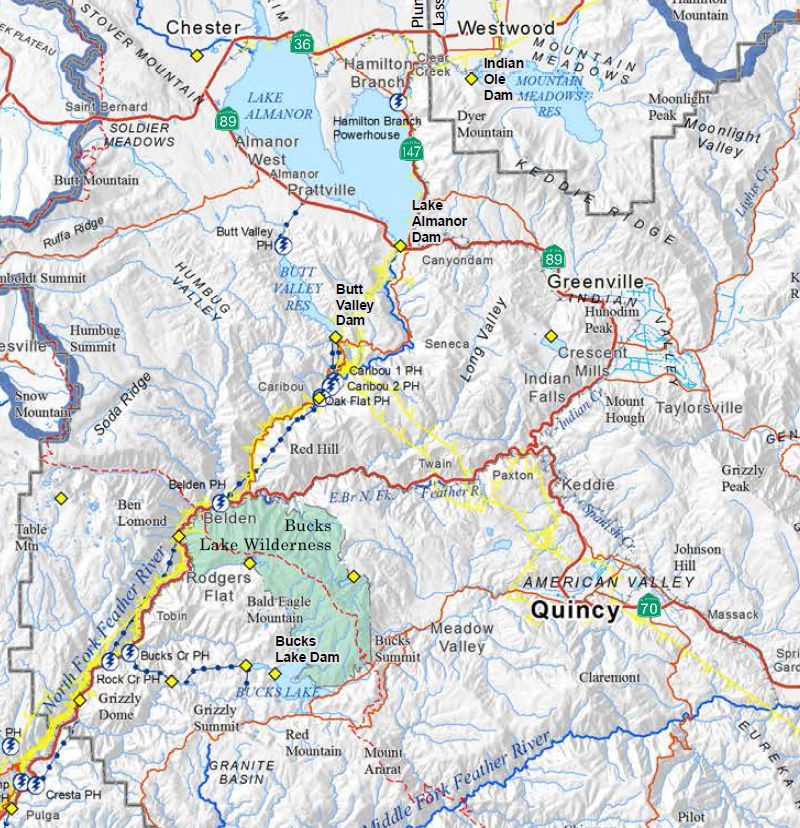
We have been working on a series of thematic maps for the Upper Feather River Integrated Regional Water Management Plan (UFR-IRWM). This has been a satisfying project, as we get to use maps to describe an area that we know well.

Cartography is micro-design, every square inch matters.
Themes include:
FEMA Floodplains, Landcover, Water Management Infrastructure, Groundwater Basins, Administrative Boundaries, Sub-watersheds, and Private Water Districts.
You can download a packet of 9 draft maps here:
http://dcgis.us/UFR_IRWM_Draft_Maps.pdf